
Walk a Bessemer Street
A Bessemer address search works best as a chain, not a single query. The county parcel layer is the first stop because it fixes the subject property on the map. Its owner field is useful, yet ownership does not prove residence. A deed adds the transfer record. Voter and directory evidence may identify people tied to the place, but each has gaps. Keep the street number, street spelling, parcel number, legal description, and Bessemer Division marker together as the search moves from one system to another.
- Find the address in the Jefferson County GIS hub. Click the parcel and copy its parcel number, owner, physical address, mailing address, legal description, municipality, and division.
- Move parcel by parcel along the same street. Record both sides of the road, since a map boundary or annexation can place nearby lots in different jurisdictions.
- Check the owner and property record through Jefferson County CAPture. If its gateway fails, call or visit the Bessemer Tax Assessor.
- Carry the owner name and legal description into Landmark Web. Search deeds by party, book and page, instrument number, or legal description.
- Use Alabama voter data and period directories only as added resident clues. Compare dates and never treat a missing name as proof that no one lived there.
This sequence keeps the street directory tied to official identifiers. It also prevents a common mistake: moving from a map label straight to a claim about a household. The parcel answers which tract is involved. Other sources answer who owned, registered, subscribed, or appeared there at a stated time.
Bessemer Street Directory in GIS
The official parcel map is the most practical browse tool for a whole Bessemer street. Search or zoom to the road, click each polygon in order, then walk the same block face. The layer is generated nightly and carries a no-warranty notice, so save the date of the search. County metadata distinguishes the physical site from the owner's mailing destination and also records the municipality and Bessemer or Birmingham division. That split matters in the Bessemer Cut-Off.
The Jefferson County GIS hub is the official source entry for inspecting the mapped layer.
The GIS hub provides the map context needed to follow connected parcels instead of relying on a loose postal street match.
The Jefferson County parcel-map item gives another official route to the mapped source.
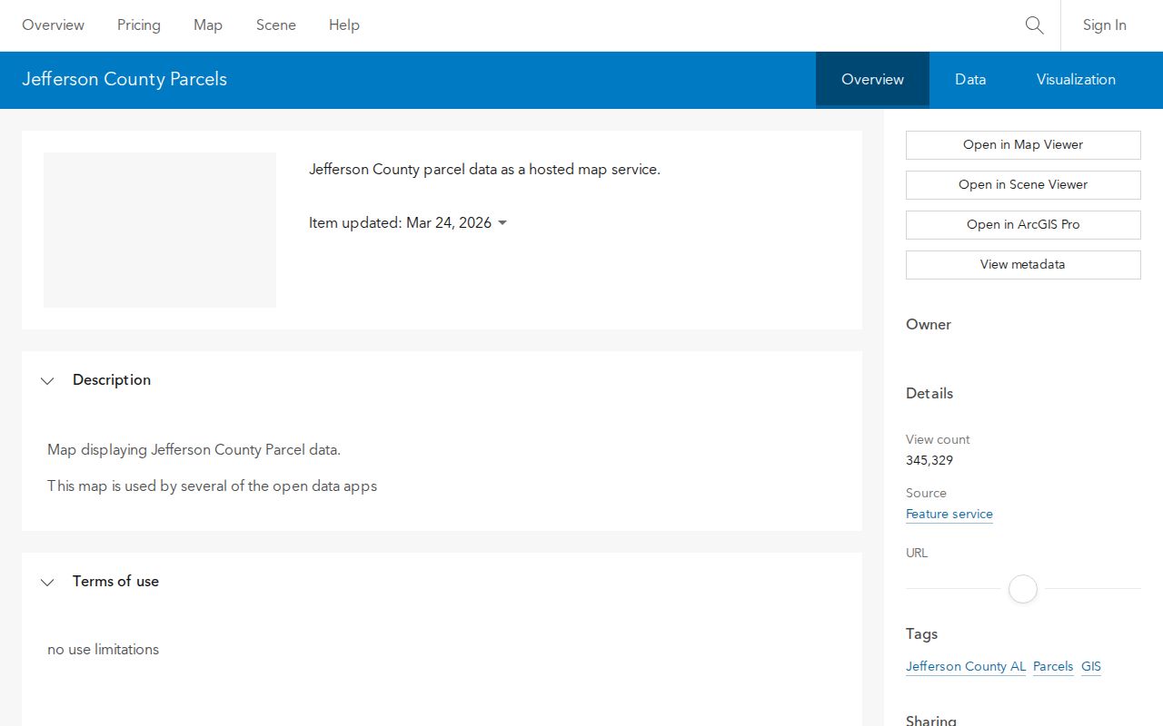
Use the parcel geometry as a guide, then copy the record fields that identify the land in the deed system.
Bessemer Address Fields That Matter
Jefferson County's published parcel metadata defines the fields that make a by-address search dependable. Some map fields, including certain zoning, school, utility, and square-footage values, are marked as not current or not valid. Do not use those fields to fill gaps. The dependable street-directory trail relies on parcel identity, owner, address, division, legal description, and plat references.
| Parcel field | How it helps a street search |
|---|---|
| Parcel ID / ParcelNo | Keeps one tract distinct from a similar street address. |
| Owner name lines | Supplies the party name to test in the deed index. |
| Situs components | Identify the land's physical street location. |
| PROP_MAIL and mailing ZIP | Show where tax mail goes, which may differ from the site. |
| Division and municipality | Help route the record to the correct Jefferson County office. |
| Legal description and plat | Carry the same land identity across address changes and deed records. |
| Neighborhood name/code | Shows an appraisal grouping, not a civic association. |
The county's parcel metadata record documents these distinctions.
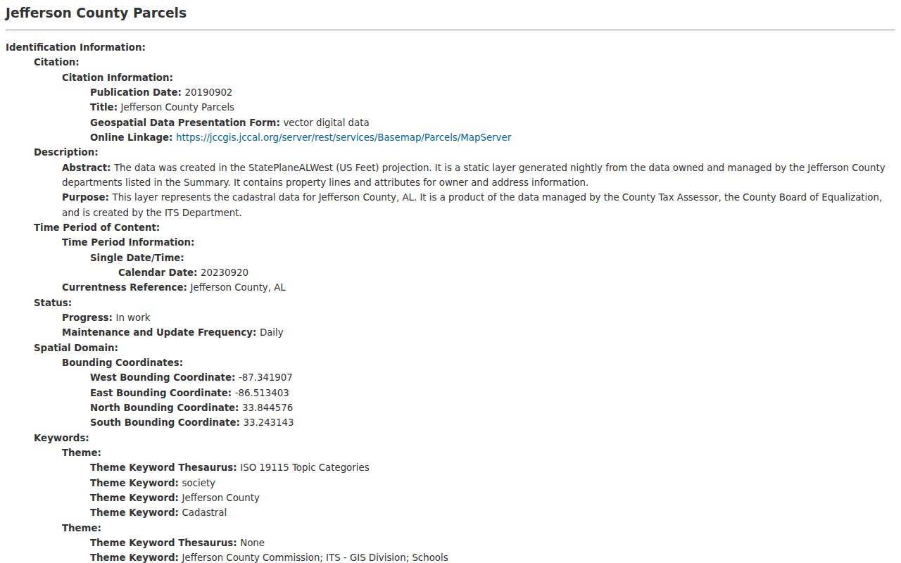
The field inventory shows why the owner-mailing address and the physical Bessemer address must remain separate.
Bessemer Records Arranged by Address
No Bessemer street directory source is complete by itself. Current parcel data provides the strongest map key. Recorded instruments establish ownership events. The statewide voter file can be ordered with residence fields, while old directory issues show only listed subscribers or households. Permit evidence may exist, but no verified public Bessemer permit or code-case database was found. A narrow records request is the responsible fallback.
| Address source | Record keeper | Street evidence | Access route |
|---|---|---|---|
| Parcel and tax roll | Bessemer Tax Assessor | Owner, mailing and situs addresses, parcel, values, exemption | CAPture, GIS, phone, or Room 209 counter |
| Parcel GIS | Jefferson County GIS | Adjacent tracts, legal and plat data, municipality, property ZIP | Free web map; nightly layer |
| Deeds and plats | Bessemer Probate Recording | Named parties, transfers, legal description | Landmark from 1965; Record Room from 1915 |
| Voter file | Alabama Secretary of State | Residence and mailing fields for registered voters | Order form; electronic or paper delivery |
| Telephone and city directories | Library of Congress and ADAH | Listed subscriber or resident at an address | Online page images or archive request |
| City administrative files | Bessemer City Clerk | Existing permit or code records, if held | Specific public-records request |
The parcel number and legal description link the first three rows. Street spelling and date then connect the historical sources. If a street crosses a boundary, check each parcel's municipality and division instead of assuming one keeper serves the entire road.
Bessemer Street Record Terms
Four terms prevent most address-search errors. They describe the land, its displayed location, and the special format of old directories.
- Parcel
- A mapped tract used for assessment. One street address can involve more than one parcel, and one parcel may not match a household.
- Situs address
- The physical location of the property. It is distinct from the owner's mailing address, which may be elsewhere.
- Plat
- A recorded map of lots, blocks, boundaries, and streets. Its book and page can identify land when the street label changes.
- Criss-cross directory
- A directory arranged by address or telephone number rather than only by surname. Use it only where the volume actually includes that format.
A street number is convenient, but the parcel and legal description are more durable. That is why a Bessemer street directory search should preserve all three.
Bessemer Deeds Across 1965
The Bessemer Division's online deed trail begins in 1965. Its courthouse books reach 1915. That divide is a local records fact, not proof of a missing transfer. Search Landmark Web by name, document, book and page, date range, instrument number, or legal description. Courtesy index entries are not official court records, and the Probate recording FAQ explains printing, copies, and the title-search limit.
When the chain reaches 1964 or earlier, take the last online grantor, grantee, book and page, and legal description to Bessemer Probate/Recording at 1801 Third Avenue North. The official locations and hours page lists the counter Monday through Friday, 8 a.m. to 4 p.m., and 205-481-4100. Mail requests should state buyer, seller if known, sale date, and property address. Copies cost $1 per page, plats $15 per page, and certification $2 per document.
Staff can retrieve an identified instrument. They do not conduct title or lien searches. The researcher must keep the chain and decide which earlier book to request.
Note: Earlier countywide material may belong to Birmingham, so confirm the parcel division before treating a Bessemer search gap as missing records.
Bessemer Mailing and Situs Clues
A mailing address answers where the tax notice goes. A situs address answers where the parcel lies. Jefferson County metadata expressly warns that PROP_MAIL may not be the physical location. An owner may receive mail at another Bessemer property, a post office box, or a place outside the city. Treating that field as proof of residence can put the wrong person at the address.
Homestead status is also limited. It can support a claim that an owner occupies the property, but it does not list every person in the household. Likewise, a deed names parties to a transfer, not all occupants. This is the central myth to avoid when reading a street by address.
Key distinction. Match situs, mailing, municipality, division, and legal description before using an owner name as a lead.
Bessemer Street Voter Evidence
Alabama Votes My Voter Page lets an individual confirm registration, ballot status, polling location, and address. After a name search, Jefferson County voters must choose the specific election in the Election Detail menu. It is not a public browse list for every person on a road.
For broader street work, Alabama law allows an application for the statewide voter file. Selectable fields include residence, mailing address, status, registration date, municipality, ward, council district, precinct, and the Jefferson Birmingham/Bessemer Division. The request can specify active, inactive, or both records and electronic or paper delivery. Electronic data costs $0.01 per voter; paper costs $1 per page, with a quote before payment. Social Security and driver-license numbers are withheld.
Participation history shows that a person took part in an election. It never reveals a ballot choice. Alabama does not register voters by party, and a voter list is not a household census.
Bessemer Streets Cross Record Lines
A Bessemer postal label does not prove that a parcel is inside the incorporated city or the Bessemer court division. ZIP codes, Census ZIP Code Tabulation Areas, mailing cities, and municipal limits describe different geographies. Annexation ordinance 3599 in 2020 used an owner petition and legal description, showing that the city boundary can change without a matching ZIP change.
County metadata also warns that flag-pole annexations and street-side matching can make a boundary look simpler than it is. One side of a road may not share the other side's jurisdiction. Compare the parcel municipality and Division fields with the official Census boundary map before sending a permit request.
The Bessemer City Council page shows the civic district structure tied to city geography.
Council districts provide civic context, but the page is not a directory of residents or neighborhood members.
Offline Bessemer Address Requests
Web access is only one channel. CAPture was unavailable at its gateway during research, and no public Bessemer building-permit or code-enforcement search was verified. Call the Bessemer Tax Assessor at 205-481-4125 or visit Room 209 for property maps, ownership and address information, exemptions, estimates, or help locating a filed deed. Use the Probate counter or mail for recorded copies.
For city-held address records, send a narrow request through the Bessemer City Clerk. Ask for an existing record or electronic field set tied to the exact address and date span. Alabama offices need not create a new compilation. A standard request generally receives acknowledgment within ten business days and a substantive response within fifteen business days after acknowledgment, subject to the statutory extension process. Hand and mail requests must be accepted.
Historic address evidence has another route. The Alabama Department of Archives and History holds verified Bessemer directory issues from 1907 through 1963 with gaps, while the Library of Congress has digitized telephone-book runs. The collections are treated in depth on the Bessemer city directory page.
Limits of Bessemer Street Records
A public Bessemer street directory trail cannot name every person who lives on a block. Parcel rolls focus on owners and tax mail. Deeds focus on transfers. Telephone books omit unlisted people and households without service. Voter records omit people who are not registered and shield specified data. Utility customer information and motor-vehicle address data do not fill those gaps.
Absence has several possible meanings. A renter may never appear in the deed chain. A family member may not be a listed subscriber. A protected voter may have restricted information. An old street may be indexed under a different description. Record each source, date, and limitation before drawing a conclusion.
Lawful use. Bessemer address records are for lawful personal research, family history, civic inquiry, and property study. Never use them to stalk, harass, threaten, or harm anyone.